
1951 Map of Seward C-6
USGS Topo · Published 1963About this map
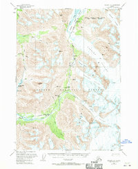
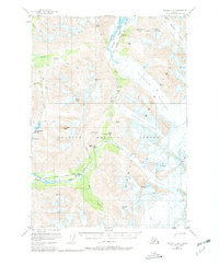
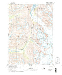
The Alaska Railroad carves a path through the towering Kenai Mountains, tracing a vital transportation corridor through the Chugach National Forest during the early 1950s. This survey reveals the critical rail infrastructure of the era, including a noted Tunnel and a levee system managing the complex waters of the Placer River. Remote rail stops and locations such as Spencer, Grandview, and Hunter serve as isolated markers of human presence within a landscape dominated by the massive ice of Spencer Glacier and Bartlett Glacier. Local history is grounded in specific sites like the Snoring Inn and topographic landmarks including Johnson Creek Summit and Bench Lake. The map illustrates the era's reliance on rail for traversing the difficult terrain between Trail Creek and the river valleys, where numerous Crevasses mark the active glacial fields.
Find a feature on this map
29 named features on this map. Tap any name to fly to it.
Don’t see what you’re looking for? This feature index may not catch every label — zoom into the map to look around manually.
Map Details
Editions of this 1951 Seward C-6 Map
4 editions found
Other maps of this area

1951 · Seward
USGS Topo · 1:250,000

1951 · Seward B-7
USGS Topo · 1:63,360

1951 · Seward D-5
USGS Topo · 1:63,360

1951 · Seward C-5
USGS Topo · 1:63,360

1951 · Seward B-6
USGS Topo · 1:63,360

1951 · Seward B-5
USGS Topo · 1:63,360

1951 · Seward D-7
USGS Topo · 1:63,360

1951 · Seward C-7
USGS Topo · 1:63,360

1951 · Seward D-6
USGS Topo · 1:63,360

1952 · Seward B-6
USGS Topo · 1:63,360