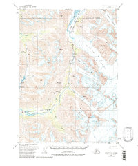
1951 Map of Seward C-6
USGS Topo · Published 1986About this map
The Alaska Railroad carves a narrow path through the glaciated interior of the Chugach National Forest on this 1951 topographic sheet. This corridor follows the Placer River and The Creek, serving as the primary infrastructure for small trackside points such as Grandview, Spencer, and Hunter. The landscape is dominated by massive ice fields including Spencer Glacier and Bartlett Glacier, which descend from high peaks like Anderson Peak and Tincan Peak.
Find a feature on this map
33 named features on this map. Tap any name to fly to it.
Don’t see what you’re looking for? This feature index may not catch every label — zoom into the map to look around manually.
Map Details
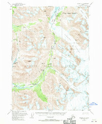
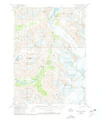
Editions of this 1951 Seward C-6 Map
4 editions found
Other maps of this area

1951 · Seward
USGS Topo · 1:250,000

1951 · Seward B-7
USGS Topo · 1:63,360

1951 · Seward C-6
USGS Topo · 1:63,360

1951 · Seward D-5
USGS Topo · 1:63,360

1951 · Seward C-5
USGS Topo · 1:63,360

1951 · Seward B-6
USGS Topo · 1:63,360

1951 · Seward B-5
USGS Topo · 1:63,360

1951 · Seward D-7
USGS Topo · 1:63,360

1951 · Seward C-7
USGS Topo · 1:63,360

1951 · Seward D-6
USGS Topo · 1:63,360