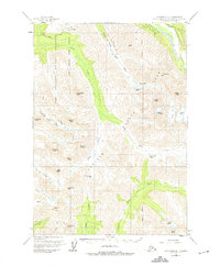
1960 Map of Anchorage A-7
USGS Topo · Published 1975About this map
Fort Richardson Military Reservation dominates the northwestern portion of this 1960 survey, illustrating the significant military footprint near Anchorage during the Cold War era. The high peaks and deep valleys of what is now Chugach State Park define the eastern and southern reaches, where the landscape is marked by prominent alpine features such as Mount Williwaw, Eagle Peak, and Hurdygurdy Mtn. Glacial activity is evident through the presence of Bird Glacier and Flute Glacier, while several high mountain passes, including Bird Creek Pass and Powerline Pass, indicate established routes through the interior.
Find a feature on this map
39 named features on this map. Tap any name to fly to it.
Don’t see what you’re looking for? This feature index may not catch every label — zoom into the map to look around manually.
Map Details
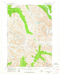
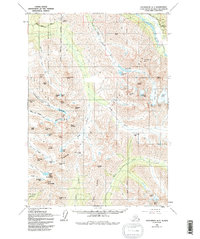
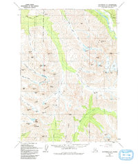
Editions of this 1960 Anchorage A-7 Map
5 editions found

Other maps of this area

1951 · Seward
USGS Topo · 1:250,000

1951 · Anchorage
USGS Topo · 1:250,000

1951 · Seward D-8
USGS Topo · 1:63,360

1951 · Seward D-7
USGS Topo · 1:63,360

1951 · Seward D-6
USGS Topo · 1:63,360

1952 · Seward D-8
USGS Topo · 1:63,360

1952 · Seward D-6
USGS Topo · 1:63,360

1952 · Seward D-7
USGS Topo · 1:63,360

1952 · Anchorage A-8
USGS Topo · 1:63,360

1952 · Anchorage B-8
USGS Topo · 1:63,360