
1952 Map of Seward D-8
USGS Topo · Published 1954About this map
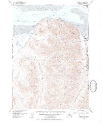
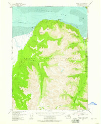
The community of Hope sits at the intersection of Resurrection Creek and the tidal flats of Turnagain Arm, serving as a focal point for this early 1950s survey of the northern Kenai Peninsula. Much of the landscape is dominated by the steep, drainage-carved terrain of the Chugach National Forest, where numerous creeks like Big Indian Creek and Porcupine Creek flow toward the coast. Mining activity is evident along the eastern gulches, specifically at the Robinson Bowman Mine and Pearson Mine located near Rimrock Creek. Transportation into this wilderness was still developing during the postwar era, characterized by the Seward-Anchorage Hwy and specialized routes such as the Ski-Mobile Trail. Coastal features including Chickaloon Bay and Gull Rock define the northern boundary, illustrating the complex shoreline and mudflats of the Alaska-Third Judicial Division.
Find a feature on this map
33 named features on this map. Tap any name to fly to it.
Don’t see what you’re looking for? This feature index may not catch every label — zoom into the map to look around manually.
Map Details
Editions of this 1952 Seward D-8 Map
3 editions found
Other maps of this area

1944 · Kenai
USGS Topo · 1:250,000

1949 · Tyonek
USGS Topo · 1:250,000

1950 · Kenai
USGS Topo · 1:250,000

1951 · Seward
USGS Topo · 1:250,000

1951 · Anchorage
USGS Topo · 1:250,000

1951 · Tyonek
USGS Topo · 1:250,000

1951 · Kenai C-1
USGS Topo · 1:63,360

1951 · Kenai D-1
USGS Topo · 1:63,360

1951 · Seward C-8
USGS Topo · 1:63,360

1951 · Seward D-8
USGS Topo · 1:63,360