
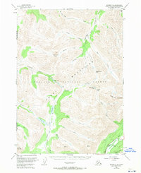
1951 Map of Seward C-8
USGS Topo · Published 1965About this map
The Kenai Mountains dominate this 1950s survey of the Alaska interior, where high-altitude passes and drainage basins define the travel corridors of the era. The Sterling Highway cuts through the southeastern corner along Quartz Creek, providing a modern artery near the confluence with Daves Creek. Further into the wilderness of the Chugach National Forest, the Juneau Trail serves as the primary overland route, skirting the western shores of Juneau Lake and Swan Lake. A solitary Cabin situated near the south end of Juneau Lake highlights the sparse human imprint on this landscape, which was primarily used for resource access and transit between the Resurrection Creek and Chickaloon River systems. Geodetic markers like VABM 4297 Lean and VABM 3216 Juneau anchor the topography of this glaciated terrain.
Find a feature on this map
42 named features on this map. Tap any name to fly to it.
Don’t see what you’re looking for? This feature index may not catch every label — zoom into the map to look around manually.
Map Details
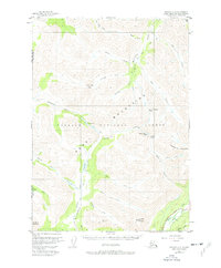
Editions of this 1951 Seward C-8 Map
3 editions found
Other maps of this area

1944 · Kenai
USGS Topo · 1:250,000

1950 · Kenai
USGS Topo · 1:250,000

1950 · Kenai B-1
USGS Topo · 1:63,360

1951 · Seward
USGS Topo · 1:250,000

1951 · Kenai C-1
USGS Topo · 1:63,360

1951 · Seward B-7
USGS Topo · 1:63,360

1951 · Kenai D-1
USGS Topo · 1:63,360

1951 · Seward D-8
USGS Topo · 1:63,360

1951 · Seward D-7
USGS Topo · 1:63,360

1951 · Seward B-8
USGS Topo · 1:63,360