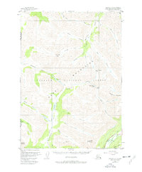
1951 Map of Seward C-8
USGS Topo · Published 1977About this map
Resurrection Pass Trail serves as the central artery through this portion of the Kenai Mountains, tracing a historic corridor through the Chugach National Forest. The map documents the high alpine passes and interconnected water systems of the interior peninsula during the early 1950s, a period prior to extensive modern development in the region. Notable elevations like Langille Mountain and Gilpatrick Mountain overlook a complex network of drainage basins, including the headwaters of the Chickaloon River and Resurrection Creek. This survey captures the specific locations of several remote cabins and landmarks along the trail system, such as Devils Pass Lake and Juneau Lake. In the southeast corner, the early alignment of the Sterling Highway follows the course of Quartz Creek, providing a stark contrast between the developing road infrastructure and the roadless wilderness of the interior peaks.
Find a feature on this map
39 named features on this map. Tap any name to fly to it.
Don’t see what you’re looking for? This feature index may not catch every label — zoom into the map to look around manually.
Map Details
Editions of this 1951 Seward C-8 Map
3 editions found
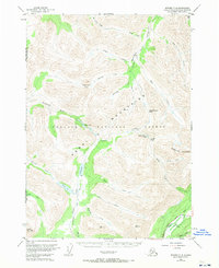
Other maps of this area

1944 · Kenai
USGS Topo · 1:250,000

1950 · Kenai
USGS Topo · 1:250,000

1950 · Kenai B-1
USGS Topo · 1:63,360

1951 · Seward
USGS Topo · 1:250,000

1951 · Kenai C-1
USGS Topo · 1:63,360

1951 · Seward B-7
USGS Topo · 1:63,360

1951 · Kenai D-1
USGS Topo · 1:63,360

1951 · Seward C-8
USGS Topo · 1:63,360

1951 · Seward D-8
USGS Topo · 1:63,360

1951 · Seward D-7
USGS Topo · 1:63,360