
1951 Map of Seward B-8
USGS Topo · Published 1968About this map
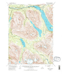
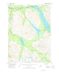
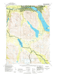
Cooper Landing serves as the focal point of this Kenai Peninsula study, marking a period of established wilderness access along the Kenai River. The map illustrates a localized economy of early tourism and resource management, evidenced by family-named sites like Hentons Lodge, Gwins Lodge, and Nixons Ranch. The transportation network is defined by the Sterling Highway and a series of rugged paths including the Russian River Trail and Stetson Creek Trail, which connect remote cabins to the primary river artery. The inclusion of the Bohan Cabin Seaplane Base at Kenai Lake highlights the era's reliance on air travel for reaching secluded outposts like Snug Harbor. Between the Chugach Mountains and the Kenai National Moose Range, the landscape remains largely defined by its natural hydrology, from the glacial waters of Cooper Lake to the headwaters of the Resurrection River.
Find a feature on this map
38 named features on this map. Tap any name to fly to it.
Don’t see what you’re looking for? This feature index may not catch every label — zoom into the map to look around manually.
Map Details
Editions of this 1951 Seward B-8 Map
4 editions found
Other maps of this area

1944 · Kenai
USGS Topo · 1:250,000

1950 · Kenai
USGS Topo · 1:250,000

1950 · Kenai B-1
USGS Topo · 1:63,360

1950 · Seward A-8
USGS Topo · 1:63,360

1950 · Seward A-7
USGS Topo · 1:63,360

1951 · Seward
USGS Topo · 1:250,000

1951 · Seward A-7
USGS Topo · 1:63,360

1951 · Kenai C-1
USGS Topo · 1:63,360

1951 · Seward B-7
USGS Topo · 1:63,360

1951 · Kenai A-1
USGS Topo · 1:63,360