
1951 Map of Kenai A-1
USGS Topo · Published 1963About this map
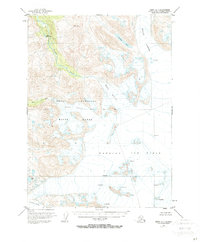
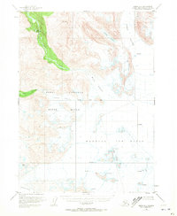
The Harding Ice Field dominates this corner of the Kenai Peninsula, where massive glacial flows and high-altitude ice define the landscape during the early 1950s. This survey, compiled from 1950 aerial photography, provides a detailed view of the Kenai National Moose Range before significant modern development altered the region. The map tracks the descent of the Skilak Glacier and the Killey Glacier, highlighting the extensive crevasses that mark these moving ice bodies. Along the northern edge, the Killey River cuts through the terrain, fed by glacial runoff and the isolated Iceberg Lake. The presence of the Seward Base Line serves as a critical surveying anchor for these largely unsurveyed and unmarked lands, which at the time were primarily under the management of the Bureau of Land Management.
Find a feature on this map
16 named features on this map. Tap any name to fly to it.
Don’t see what you’re looking for? This feature index may not catch every label — zoom into the map to look around manually.
Map Details
Editions of this 1951 Kenai A-1 Map
3 editions found
Other maps of this area

1944 · Kenai
USGS Topo · 1:250,000

1946 · Blying Sound
USGS Topo · 1:250,000

1950 · Kenai
USGS Topo · 1:250,000

1950 · Kenai B-1
USGS Topo · 1:63,360

1950 · Seldovia D-2
USGS Topo · 1:63,360

1950 · Seward A-8
USGS Topo · 1:63,360

1951 · Blying Sound
USGS Topo · 1:250,000

1951 · Seward
USGS Topo · 1:250,000

1951 · Seldovia
USGS Topo · 1:250,000

1951 · Kenai B-2
USGS Topo · 1:63,360