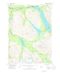
1951 Map of Seward B-8
USGS Topo · Published 1978About this map
Cooper Landing serves as the focal point of this Kenai Peninsula survey, marking a significant era of settlement and recreation along the Kenai River. The map documents a specific period in the mid-20th century when the Sterling Highway facilitated access to a series of remote outposts, including Hentons Lodge, Gwins Lodge, and Nixons Ranch. These family-named lodges and farms represent the early infrastructure of the region's wilderness tourism and homesteading history.
Find a feature on this map
54 named features on this map. Tap any name to fly to it.
Don’t see what you’re looking for? This feature index may not catch every label — zoom into the map to look around manually.
Map Details
Editions of this 1951 Seward B-8 Map
4 editions found

Other maps of this area

1944 · Kenai
USGS Topo · 1:250,000

1950 · Kenai
USGS Topo · 1:250,000

1950 · Kenai B-1
USGS Topo · 1:63,360

1950 · Seward A-8
USGS Topo · 1:63,360

1950 · Seward A-7
USGS Topo · 1:63,360

1951 · Seward
USGS Topo · 1:250,000

1951 · Seward A-7
USGS Topo · 1:63,360

1951 · Kenai C-1
USGS Topo · 1:63,360

1951 · Seward B-7
USGS Topo · 1:63,360

1951 · Kenai A-1
USGS Topo · 1:63,360