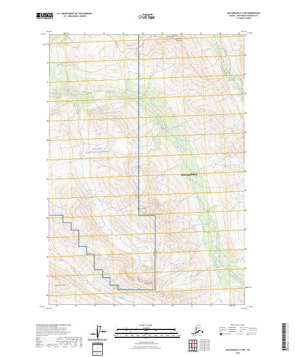
2023 Map of Anchorage A-7 NW
USGS Topo · Published 2023About this map
Joint Base Elmendore-Richardson occupies a significant portion of this high-elevation landscape, where military interests intersect with the prominent ridgelines of the Chugach Mountains. The terrain is defined by a series of notable summits, including Rendezvous Peak, Temptation Peak, and Wolverine Peak, which frame the deep drainage basins of Ship Creek and the Campbell Creek Canyon. These peaks serve as critical landmarks for local navigation and recreational access into the alpine interior north of the city center.
Find a feature on this map
27 named features on this map. Tap any name to fly to it.
Don’t see what you’re looking for? This feature index may not catch every label — zoom into the map to look around manually.
Map Details
Editions of this 2023 Anchorage A-7 NW Map
This is the sole edition of this map. No revisions or reprints were ever made.
Other maps of this area

1951 · Anchorage
USGS Topo · 1:250,000

1952 · Anchorage A-8
USGS Topo · 1:63,360

1952 · Anchorage B-8
USGS Topo · 1:63,360

1953 · Anchorage A-8
USGS Topo · 1:63,360

1953 · Anchorage B-8
USGS Topo · 1:63,360

1960 · Anchorage B-7
USGS Topo · 1:63,360

1960 · Anchorage A-7
USGS Topo · 1:63,360

1962 · Anchorage
USGS Topo · 1:250,000

1965 · Anchorage B-8
USGS Topo · 1:63,360

1979 · Anchorage B-7 SW
USGS Topo · 1:25,000