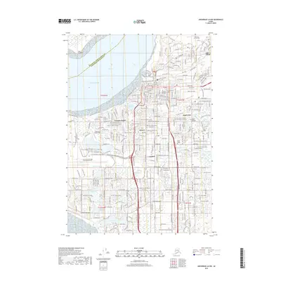
2019 Map of Anchorage A-8 NW
USGS Topo · Published 2019About this map
The urban and natural landscapes of the Anchorage bowl are documented here, defined by the extensive wetlands and waterways that penetrate the city. Neighborhoods like Spenard and Turnagain Heights are framed by the waters of the Knik Arm and a dense network of lakes, including Jewel Lake, Sand Lake, and the expansive Campbell Lake. The map reveals the critical importance of aviation to the region, highlighting the large footprint of the Ted Stevens Anchorage International Airport, the Lake Hood Seaplane Base, and Merrill Field. The modern transportation corridor is balanced by recreational assets like the Tony Knowles Coastal Trail and the Campbell Creek Trail. Institutional hubs are well-defined, ranging from the Univ of Alaska Anchorage to the historic Anchorage Memorial Park Cem and the industrial activity along the Alaska Railroad. This layout emphasizes how the city's growth has been dictated by the proximity of the Pacific Ocean and the surrounding glacial streams.
Find a feature on this map
53 named features on this map. Tap any name to fly to it.
Don’t see what you’re looking for? This feature index may not catch every label — zoom into the map to look around manually.
Map Details
Editions of this 2019 Anchorage A-8 NW Map
This is the sole edition of this map. No revisions or reprints were ever made.
Other maps of this area

1949 · Tyonek
USGS Topo · 1:250,000

1951 · Anchorage
USGS Topo · 1:250,000

1951 · Tyonek
USGS Topo · 1:250,000

1951 · Tyonek A-1
USGS Topo · 1:63,360

1952 · Tyonek A-1
USGS Topo · 1:63,360

1952 · Anchorage A-8
USGS Topo · 1:63,360

1952 · Anchorage B-8
USGS Topo · 1:63,360

1953 · Anchorage A-8
USGS Topo · 1:63,360

1953 · Anchorage B-8
USGS Topo · 1:63,360

1958 · Tyonek B-1
USGS Topo · 1:63,360