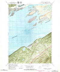
1979 Map of Anchorage B-7 NW
USGS Topo · Published 1980About this map
Knik Arm dominates the upper half of this late-1970s orthophotomap, revealing the complex tidal environment where Palmer Slough and Cottonwood Creek meet the mudflats near Coffee Point. The map provides a hybrid view, blending topographic contours with aerial imagery to show the land-use patterns of the era. The southern portion depicts the community of Birchwood, which is bounded by substantial protected and restricted lands including Fort Richardson Military Reservation and Elmendorf State Park.
Find a feature on this map
30 named features on this map. Tap any name to fly to it.
Don’t see what you’re looking for? This feature index may not catch every label — zoom into the map to look around manually.
Map Details
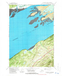
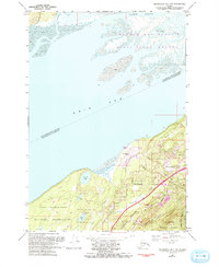
Editions of this 1979 Anchorage B-7 NW Map
3 editions found
Other maps of this area

1950 · Anchorage C-8
USGS Topo · 1:63,360

1950 · Anchorage C-7
USGS Topo · 1:63,360

1951 · Anchorage
USGS Topo · 1:250,000

1951 · Anchorage C-7
USGS Topo · 1:63,360

1952 · Anchorage C-7
USGS Topo · 1:63,360

1952 · Anchorage C-8
USGS Topo · 1:63,360

1952 · Anchorage B-8
USGS Topo · 1:63,360

1953 · Anchorage B-8
USGS Topo · 1:63,360

1960 · Anchorage B-7
USGS Topo · 1:63,360

1962 · Anchorage
USGS Topo · 1:250,000