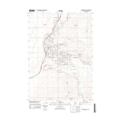
2015 Map of Anchorage B-7 SW
USGS Topo · Published 2015About this map
Eagle River and its surrounding residential developments anchor this survey, showing the residential expansion along the Glenn Highway corridor north of Anchorage. The geography is defined by the transition from the river valley floor to the high peaks of the Chugach Mountains, including Mount Baldy and Highland Mtn. The map meticulously details the suburban street network, including named residential loops like Eaglewood Loop and the winding Hiland Road that climbs toward the higher elevations.
Find a feature on this map
85 named features on this map. Tap any name to fly to it.
Don’t see what you’re looking for? This feature index may not catch every label — zoom into the map to look around manually.
Map Details
Editions of this 2015 Anchorage B-7 SW Map
This is the sole edition of this map. No revisions or reprints were ever made.
Other maps of this area

1951 · Anchorage
USGS Topo · 1:250,000

1952 · Anchorage A-8
USGS Topo · 1:63,360

1952 · Anchorage B-8
USGS Topo · 1:63,360

1953 · Anchorage A-8
USGS Topo · 1:63,360

1953 · Anchorage B-8
USGS Topo · 1:63,360

1960 · Anchorage B-7
USGS Topo · 1:63,360

1960 · Anchorage A-7
USGS Topo · 1:63,360

1962 · Anchorage
USGS Topo · 1:250,000

1965 · Anchorage B-8
USGS Topo · 1:63,360

1979 · Anchorage B-7 SW
USGS Topo · 1:25,000