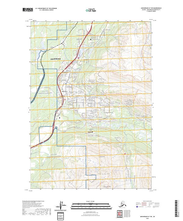
2023 Map of Anchorage B-7 SW
USGS Topo · Published 2023About this map
Eagle River serves as the focal point of this 2023 survey, illustrating the modern residential expansion within the northern reaches of the Anchorage municipality. The landscape is defined by the sharp transition from the suburban clusters near the Alaska Anchorage Eagle River Campus and Saint John Catholic Cathedral Cem to the towering peaks of the Chugach Mountains. High-altitude landmarks like Mt Gordon Lyon and Rendezvous Peak dominate the eastern topography, while Highland Airport sits on a plateau above the river valley.
Find a feature on this map
139 named features on this map. Tap any name to fly to it.
Don’t see what you’re looking for? This feature index may not catch every label — zoom into the map to look around manually.
Map Details
Editions of this 2023 Anchorage B-7 SW Map
This is the sole edition of this map. No revisions or reprints were ever made.
Other maps of this area

1951 · Anchorage
USGS Topo · 1:250,000

1952 · Anchorage A-8
USGS Topo · 1:63,360

1952 · Anchorage B-8
USGS Topo · 1:63,360

1953 · Anchorage A-8
USGS Topo · 1:63,360

1953 · Anchorage B-8
USGS Topo · 1:63,360

1960 · Anchorage B-7
USGS Topo · 1:63,360

1960 · Anchorage A-7
USGS Topo · 1:63,360

1962 · Anchorage
USGS Topo · 1:250,000

1965 · Anchorage B-8
USGS Topo · 1:63,360

1979 · Anchorage B-7 SW
USGS Topo · 1:25,000