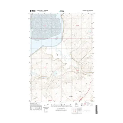
2015 Map of Anchorage B-8 SE
USGS Topo · Published 2015About this map
The Eagle River Flats and the tidal waters of the Knik Arm dominate the northwestern landscape of this region, which is heavily shaped by military infrastructure. Large portions of the terrain are dedicated to Fort Richardson and Elmendorf Air Force Base, highlighting the area's strategic importance. The map details several aviation facilities, including Bryant Army Airfield and the Sixmile Lake Airport, which serve the various installations.
Find a feature on this map
25 named features on this map. Tap any name to fly to it.
Don’t see what you’re looking for? This feature index may not catch every label — zoom into the map to look around manually.
Map Details
Editions of this 2015 Anchorage B-8 SE Map
This is the sole edition of this map. No revisions or reprints were ever made.
Other maps of this area

1951 · Anchorage
USGS Topo · 1:250,000

1952 · Anchorage A-8
USGS Topo · 1:63,360

1952 · Anchorage B-8
USGS Topo · 1:63,360

1953 · Anchorage A-8
USGS Topo · 1:63,360

1953 · Anchorage B-8
USGS Topo · 1:63,360

1960 · Anchorage B-7
USGS Topo · 1:63,360

1960 · Anchorage A-7
USGS Topo · 1:63,360

1962 · Anchorage
USGS Topo · 1:250,000

1965 · Anchorage B-8
USGS Topo · 1:63,360

1979 · Anchorage B-7 SW
USGS Topo · 1:25,000