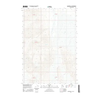
2016 Map of Anchorage C-1 NE
USGS Topo · Published 2016About this map
Nelchina River winds through the high-elevation valleys of this portion of the Matanuska-Susitna Borough, fed by the massive ice fields of the Nelchina Glacier. The topography is defined by extreme relief and steep drainage basins, with the glacier dominating the eastern edge of the quadrangle. This 2016 survey captures the physical landscape as documented by the U.S. Geological Survey, using data from the National Hydrography and Elevation Datasets. The map detail highlights the intricate flow of the river system through the Township and Range grids, including t2s r11w and t1s r10w, where the glacial meltwater shapes the shifting riverbed and local terrain.
Find a feature on this map
8 named features on this map. Tap any name to fly to it.
Don’t see what you’re looking for? This feature index may not catch every label — zoom into the map to look around manually.
Map Details
Editions of this 2016 Anchorage C-1 NE Map
This is the sole edition of this map. No revisions or reprints were ever made.
Other maps of this area

1948 · Anchorage D-1
USGS Topo · 1:63,360

1949 · Valdez D-8
USGS Topo · 1:63,360

1951 · Anchorage
USGS Topo · 1:250,000

1951 · Anchorage D-1
USGS Topo · 1:63,360

1952 · Valdez D-8
USGS Topo · 1:63,360

1952 · Valdez
USGS Topo · 1:250,000

1960 · Valdez C-8
USGS Topo · 1:63,360

1960 · Anchorage C-1
USGS Topo · 1:63,360

1960 · Valdez
USGS Topo · 1:250,000

1962 · Anchorage
USGS Topo · 1:250,000