
1960 Map of Valdez C-8
USGS Topo · Published 1965About this map
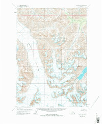
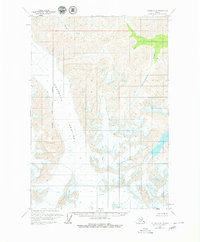
Nelchina Glacier dominates the western half of this 1960s study, its massive ice field marked by extensive Crevasses that reveal the flow and movement of the terrain. The landscape is a high-altitude wilderness defined by the deep drainages of Brunette Creek in the north and the winding path of Klanelneechena Creek to the east. This survey, compiled from aerial photography taken throughout the 1950s, documents a region devoid of roads or permanent structures, focusing instead on the complex glacial morphology and the stark divide between the ice and the surrounding peaks. The detailed contouring illustrates the extreme elevations and drainage patterns that feed into the larger river systems of the Copper River Meridian, providing a baseline of glacial extent before modern climatic shifts.
Find a feature on this map
4 named features on this map. Tap any name to fly to it.
Don’t see what you’re looking for? This feature index may not catch every label — zoom into the map to look around manually.
Map Details
Editions of this 1960 Valdez C-8 Map
3 editions found
Other maps of this area

1948 · Anchorage D-1
USGS Topo · 1:63,360

1949 · Valdez D-8
USGS Topo · 1:63,360

1949 · Valdez D-7
USGS Topo · 1:63,360

1951 · Valdez D-7
USGS Topo · 1:63,360

1951 · Anchorage
USGS Topo · 1:250,000

1951 · Anchorage D-1
USGS Topo · 1:63,360

1952 · Valdez D-8
USGS Topo · 1:63,360

1952 · Valdez
USGS Topo · 1:250,000

1960 · Valdez B-7
USGS Topo · 1:63,360

1960 · Valdez C-7
USGS Topo · 1:63,360