
1960 Map of Valdez
USGS Topo · Published 1967About this map
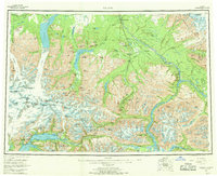
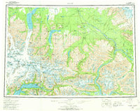
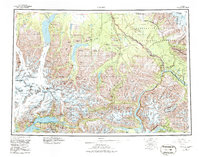
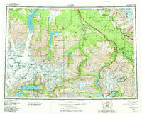
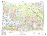
The coastal gateway of Valdez and the mountain corridors of the eastern Chugach Range anchor this mid-century topographic study. The map documents the vital transport network of the era, including the Richardson Highway and Glenn Highway, which served as the primary terrestrial links between the Gulf of Alaska and the interior. Along the Copper River, the former route of the Copper River and Northwestern Railroad is still visible near Chitina and Strelna, marking the legacy of the region's copper mining industrial period. Interior settlements such as Copper Center and Tonsina are shown at the junctions of major glacial river systems. To the south, Fort Liscum stands across the water from the main townsite of Valdez, while massive ice fields including Columbia Glacier and Tazlina Glacier dominate the surrounding high peaks of the Chugach National Forest.
Find a feature on this map
123 named features on this map. Tap any name to fly to it.
Don’t see what you’re looking for? This feature index may not catch every label — zoom into the map to look around manually.
Map Details
Editions of this 1960 Valdez Map
6 editions found
Other maps of this area

1948 · Cordova
USGS Topo · 1:250,000

1948 · Valdez D-5
USGS Topo · 1:63,360

1948 · Anchorage D-1
USGS Topo · 1:63,360

1949 · Gulkana A-3
USGS Topo · 1:63,360

1949 · Gulkana A-5
USGS Topo · 1:63,360

1949 · Talkeetna Mountains A-1
USGS Topo · 1:63,360

1949 · Valdez D-4
USGS Topo · 1:63,360

1949 · Gulkana A-6
USGS Topo · 1:63,360

1949 · Valdez D-8
USGS Topo · 1:63,360

1949 · Valdez D-6
USGS Topo · 1:63,360