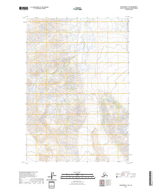
2023 Map of Anchorage C-1 NE
USGS Topo · Published 2023About this map
Nelchina River defines the central topography of this remote Alaskan interior landscape, its glacial waters carving through the high-elevation terrain of the Matanuska-Susitna region. The map primarily records the intricate hydrology of the river's upper reaches, showing a complex network of seasonal tributaries and drainage patterns that feed into the main channel. As part of a 2023 survey, this document preserves the contemporary boundary lines for several townships, including t1s r11w, t1s r10w, and t2s r10w, reflecting the formal division of state and federal lands. The sheer density of contour lines across the western portion of the quadrangle highlights the elevation changes characteristic of this portion of the Copper River Basin, where water systems dictate the primary routes of access through the wilderness.
Find a feature on this map
9 named features on this map. Tap any name to fly to it.
Don’t see what you’re looking for? This feature index may not catch every label — zoom into the map to look around manually.
Map Details
Editions of this 2023 Anchorage C-1 NE Map
This is the sole edition of this map. No revisions or reprints were ever made.
Other maps of this area

1948 · Anchorage D-1
USGS Topo · 1:63,360

1949 · Valdez D-8
USGS Topo · 1:63,360

1951 · Anchorage
USGS Topo · 1:250,000

1951 · Anchorage D-1
USGS Topo · 1:63,360

1952 · Valdez D-8
USGS Topo · 1:63,360

1952 · Valdez
USGS Topo · 1:250,000

1960 · Valdez C-8
USGS Topo · 1:63,360

1960 · Anchorage C-1
USGS Topo · 1:63,360

1960 · Valdez
USGS Topo · 1:250,000

1962 · Anchorage
USGS Topo · 1:250,000