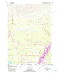
1979 Map of Anchorage C-6 NW
USGS Topo · Published 1993About this map
Arkose Ridge looms over the northern landscape of this portion of the Matanuska Valley, where the transition from high-altitude terrain to the valley floor is marked by industrial and residential growth. This 1979 survey, updated in the early 1990s, documents the resource extraction economy of the region, specifically near the Premier Mine and surrounding Quarries and Prospects along Moose Creek. The southern half of the map reveals a burgeoning network of local roads such as Falk Road and Soapstone Road, indicating the subdividing of tracts into smaller residential or agricultural plots.
Find a feature on this map
45 named features on this map. Tap any name to fly to it.
Don’t see what you’re looking for? This feature index may not catch every label — zoom into the map to look around manually.
Map Details
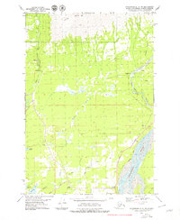
Editions of this 1979 Anchorage C-6 NW Map
2 editions found
Other maps of this area

1949 · Anchorage D-7
USGS Topo · 1:63,360

1950 · Anchorage D-6
USGS Topo · 1:63,360

1950 · Anchorage C-7
USGS Topo · 1:63,360

1951 · Anchorage
USGS Topo · 1:250,000

1951 · Anchorage C-6
USGS Topo · 1:63,360

1951 · Anchorage C-7
USGS Topo · 1:63,360

1951 · Anchorage D-7
USGS Topo · 1:63,360

1952 · Anchorage C-7
USGS Topo · 1:63,360

1952 · Anchorage D-7
USGS Topo · 1:63,360

1952 · Anchorage D-6
USGS Topo · 1:63,360