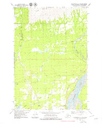
1979 Map of Anchorage C-6 NW
USGS Topo · Published 1979About this map
Arkose Ridge looms over the landscape, marking the rugged transition between the high northern terrain and the burgeoning agricultural and mining districts of the Matanuska Valley. Near the center of the sheet, the Premier Mine and nearby Quarries indicate the region's industrial foundations during the late 1970s. The settlement of Fishhook sits nestled near the Little Susitna River, while the southern expanse reveals a developing network of local transit including Trunk Road, Wasilla Road, and Farm Loop Road.
Find a feature on this map
25 named features on this map. Tap any name to fly to it.
Don’t see what you’re looking for? This feature index may not catch every label — zoom into the map to look around manually.
Map Details
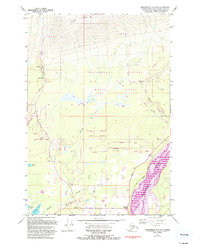
Editions of this 1979 Anchorage C-6 NW Map
2 editions found
Other maps of this area

1949 · Anchorage D-7
USGS Topo · 1:63,360

1950 · Anchorage D-6
USGS Topo · 1:63,360

1950 · Anchorage C-7
USGS Topo · 1:63,360

1951 · Anchorage
USGS Topo · 1:250,000

1951 · Anchorage C-6
USGS Topo · 1:63,360

1951 · Anchorage C-7
USGS Topo · 1:63,360

1951 · Anchorage D-7
USGS Topo · 1:63,360

1952 · Anchorage C-7
USGS Topo · 1:63,360

1952 · Anchorage D-7
USGS Topo · 1:63,360

1952 · Anchorage D-6
USGS Topo · 1:63,360