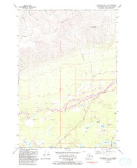
1979 Map of Anchorage C-7 NE
USGS Topo · Published 1993About this map
Bald Mountain Ridge and Government Peak dominate the northern landscape of this Matanuska-Susitna region, where the terrain drops sharply into a lake-studded valley. Historical mining activity is marked by the Thorpe Mine and several unnamed mines situated near Grubstake Gulch and Homestake Creek. These industrial sites represent early extractive efforts along the mountain's southern face, overlooking the drainage of the Little Susitna River.
Find a feature on this map
41 named features on this map. Tap any name to fly to it.
Don’t see what you’re looking for? This feature index may not catch every label — zoom into the map to look around manually.
Map Details
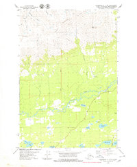
Editions of this 1979 Anchorage C-7 NE Map
2 editions found
Other maps of this area

1949 · Anchorage D-7
USGS Topo · 1:63,360

1950 · Anchorage D-6
USGS Topo · 1:63,360

1950 · Anchorage C-7
USGS Topo · 1:63,360

1951 · Anchorage
USGS Topo · 1:250,000

1951 · Anchorage C-6
USGS Topo · 1:63,360

1951 · Anchorage C-7
USGS Topo · 1:63,360

1951 · Anchorage D-7
USGS Topo · 1:63,360

1952 · Anchorage C-7
USGS Topo · 1:63,360

1952 · Anchorage D-7
USGS Topo · 1:63,360

1952 · Anchorage D-6
USGS Topo · 1:63,360