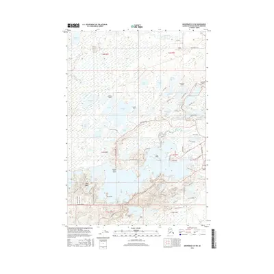
2016 Map of Anchorage C-8 SW
USGS Topo · Published 2016About this map
Big Lake dominates the southern landscape of this 2016 survey, its complex shoreline defined by points, bays like Nolfi Cove, and prominent landmasses such as Crescent Moon Island and Long Island. The region's unique reliance on aviation is immediately apparent, with numerous private and public landing strips including Kucera Residence Airport, Kramer Airport, West Beaver Airport, and Big Lake Airport scattered among the many water bodies.
Find a feature on this map
93 named features on this map. Tap any name to fly to it.
Don’t see what you’re looking for? This feature index may not catch every label — zoom into the map to look around manually.
Map Details
Editions of this 2016 Anchorage C-8 SW Map
This is the sole edition of this map. No revisions or reprints were ever made.
Other maps of this area

1949 · Tyonek
USGS Topo · 1:250,000

1950 · Anchorage C-8
USGS Topo · 1:63,360

1951 · Anchorage
USGS Topo · 1:250,000

1951 · Tyonek
USGS Topo · 1:250,000

1952 · Anchorage C-8
USGS Topo · 1:63,360

1952 · Tyonek C-1
USGS Topo · 1:63,360

1952 · Anchorage B-8
USGS Topo · 1:63,360

1953 · Anchorage B-8
USGS Topo · 1:63,360

1958 · Tyonek B-1
USGS Topo · 1:63,360

1958 · Tyonek C-1
USGS Topo · 1:63,360