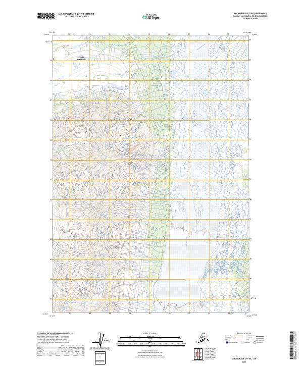
2023 Map of Anchorage D-1 SE
USGS Topo · Published 2023About this map
Eureka Roadhouse serves as the primary landmark in this remote section of the Matanuska-Susitna borough, marking a historic stop for travelers in south-central Alaska. The landscape is dominated by the sprawling braided channels of the Nelchina River, which flows southward through the eastern half of the map. To the west, the terrain transitions into a complex system of highlands and water bodies, including Goober Lake and the drainage of Beattie Creek. This 2023 survey illustrates the sparse settlement patterns typical of the region, where wide river valleys and glacial hydrology dictate the placement of human infrastructure. The map provides a clear look at the public land survey system grid, reflecting how this vast wilderness is organized and managed by agencies like the Bureau of Land Management.
Find a feature on this map
11 named features on this map. Tap any name to fly to it.
Don’t see what you’re looking for? This feature index may not catch every label — zoom into the map to look around manually.
Map Details
Editions of this 2023 Anchorage D-1 SE Map
This is the sole edition of this map. No revisions or reprints were ever made.
Other maps of this area

1948 · Anchorage D-1
USGS Topo · 1:63,360

1949 · Valdez D-8
USGS Topo · 1:63,360

1951 · Anchorage
USGS Topo · 1:250,000

1951 · Anchorage D-1
USGS Topo · 1:63,360

1952 · Valdez D-8
USGS Topo · 1:63,360

1952 · Valdez
USGS Topo · 1:250,000

1960 · Valdez C-8
USGS Topo · 1:63,360

1960 · Anchorage C-1
USGS Topo · 1:63,360

1960 · Valdez
USGS Topo · 1:250,000

1962 · Anchorage
USGS Topo · 1:250,000