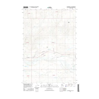
2016 Map of Anchorage D-3 SE
USGS Topo · Published 2016About this map
Glacier View and the small settlement at Farrars Landing anchor this portion of the Matanuska-Susitna Borough, where the Glenn Highway traverses the high terrain north of the Matanuska River. The landscape is dominated by the massive Matanuska Glacier and its drainage network, including Glacier Creek and Glacier Cr. Settlement patterns are tightly bound to the highway corridor, with residential spurs like Pinochle Lane and Chugach Vista Circle reaching toward the mountain slopes.
Find a feature on this map
27 named features on this map. Tap any name to fly to it.
Don’t see what you’re looking for? This feature index may not catch every label — zoom into the map to look around manually.
Map Details
Editions of this 2016 Anchorage D-3 SE Map
This is the sole edition of this map. No revisions or reprints were ever made.
Other maps of this area

1948 · Anchorage D-3
USGS Topo · 1:63,360

1948 · Anchorage D-2
USGS Topo · 1:63,360

1951 · Anchorage
USGS Topo · 1:250,000

1952 · Anchorage D-2
USGS Topo · 1:63,360

1952 · Anchorage D-3
USGS Topo · 1:63,360

1960 · Anchorage C-2
USGS Topo · 1:63,360

1960 · Anchorage C-3
USGS Topo · 1:63,360

1962 · Anchorage
USGS Topo · 1:250,000
1976 · Anchorage D-2
USGS Topo · 1:63,360

1979 · Anchorage
USGS Topo · 1:250,000