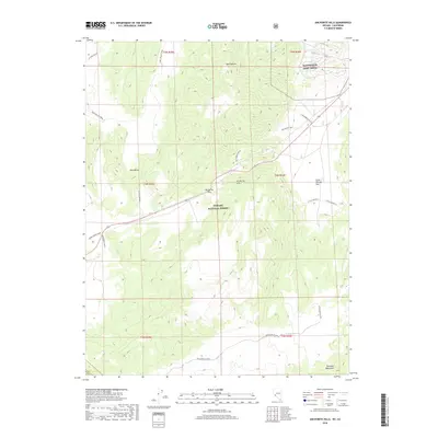
2018 Map of Anchorite Hills
USGS Topo · Published 2018About this map
The Anchorite Hills form a high-desert barrier along the California-Nevada border, where the Toiyabe National Forest meets military installations. This survey captures a landscape defined by ridgelines and remote transit corridors, including the Anchorite Pass and the Long Valley Trail. To the northeast, the presence of the Hawthorne Army Depot signifies the region's 20th-century strategic utility, while the Mark Twain Camp to the west points toward the area's deeper cultural and literary associations with the American West. The drainage patterns of Box Canyon and the dry expanse of Little Whisky Flat reveal a terrain shaped by extreme aridity. Researchers can trace the rugged network of the Excelsior Access as it winds toward the Excelsior Mountains, providing a detailed view of the infrastructure supporting both federal forestry and military logistics in this high-altitude basin.
Find a feature on this map
21 named features on this map. Tap any name to fly to it.
Don’t see what you’re looking for? This feature index may not catch every label — zoom into the map to look around manually.
Map Details
Editions of this 2018 Anchorite Hills Map
This is the sole edition of this map. No revisions or reprints were ever made.
Other maps of this area

1909 · Hawthorne
USGS Topo · 1:250,000

1911 · Hawthorne
USGS Topo · 1:250,000

1915 · Hawthorne
USGS Topo · 1:250,000

1948 · Walker Lake
USGS Topo · 1:250,000

1955 · Powell Mtn
USGS Topo · 1:62,500

1956 · Aurora
USGS Topo · 1:62,500

1957 · Walker Lake
USGS Topo · 1:250,000

1958 · Trench Canyon
USGS Topo · 1:62,500

1958 · Huntoon Valley
USGS Topo · 1:62,500

1962 · Walker Lake
USGS Topo · 1:250,000