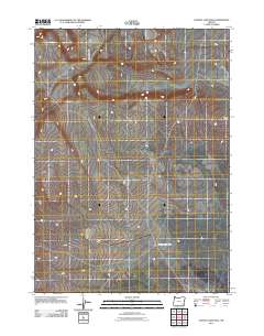
2011 Map of Ancient Lake Well
USGS Topo · Published 2011About this map
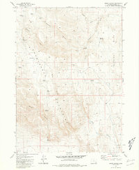
Ancient Lake Well and the surrounding high desert of Malheur County are captured in this 2011 topographic survey. The landscape is defined by its sparse water sources and subtle terrain shifts, with Ancient Lake Well serving as a primary landmark in this arid region. To the northeast, the elevation rises toward Grassy Ridge, a distinctive geographic feature that overlooks the complex network of intermittent drainage channels scoring the basin floor. The map illustrates a network of local roads and unimproved tracks that navigate the expansive terrain, reflecting the modern logistical patterns of land management and resource access in a part of Oregon where water remains the most significant variable for any activity.
Find a feature on this map
2 named features on this map. Tap any name to fly to it.
Don’t see what you’re looking for? This feature index may not catch every label — zoom into the map to look around manually.
Map Details
Editions of this 2011 Ancient Lake Well Map
This is the sole edition of this map. No revisions or reprints were ever made.
Other maps of this area

1955 · Adel
USGS Topo · 1:250,000

1957 · Adel
USGS Topo · 1:250,000

1958 · Adel
USGS Topo · 1:250,000

1962 · Adel
USGS Topo · 1:250,000

1981 · Coyote Lake West
USGS Topo · 1:24,000
1981 · Grassy Ridge Well
USGS Topo · 1:24,000
1981 · Coyote Lake East
USGS Topo · 1:24,000
1981 · Johnny Creek SW
USGS Topo · 1:24,000
1981 · Groan Canyon
USGS Topo · 1:24,000

1981 · Ancient Lake Well
USGS Topo · 1:24,000