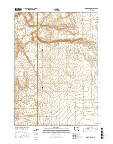
2017 Map of Ancient Lake Well
USGS Topo · Published 2017About this map
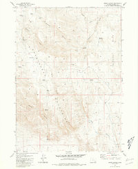
Ancient Lake Well sits at the heart of this high-desert landscape on the border of Southeastern Oregon's remote counties. This 2017 survey documents the intersection of Harney Co and Malheur Co, showing a terrain defined by subtle elevation changes and the high plateau of Grassy Ridge. The cartography relies on the Public Land Survey System to organize this open range, primarily within townships t33s r37e and t32s r37e. The scarcity of named water sources like the well indicates the arid nature of the region, where every named hydrological feature was historically critical for livestock and passage across the sagebrush-covered basins.
Find a feature on this map
7 named features on this map. Tap any name to fly to it.
Don’t see what you’re looking for? This feature index may not catch every label — zoom into the map to look around manually.
Map Details
Editions of this 2017 Ancient Lake Well Map
This is the sole edition of this map. No revisions or reprints were ever made.
Other maps of this area

1955 · Adel
USGS Topo · 1:250,000

1957 · Adel
USGS Topo · 1:250,000

1958 · Adel
USGS Topo · 1:250,000

1962 · Adel
USGS Topo · 1:250,000

1981 · Coyote Lake West
USGS Topo · 1:24,000
1981 · Grassy Ridge Well
USGS Topo · 1:24,000
1981 · Coyote Lake East
USGS Topo · 1:24,000
1981 · Johnny Creek SW
USGS Topo · 1:24,000
1981 · Groan Canyon
USGS Topo · 1:24,000

1981 · Ancient Lake Well
USGS Topo · 1:24,000