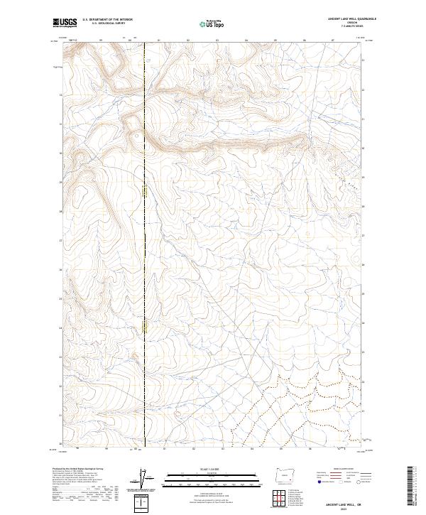
2023 Map of Ancient Lake Well
USGS Topo · Published 2023About this map
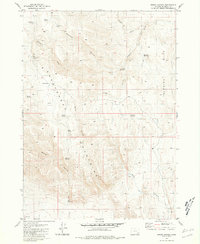
High desert terrain dominates the landscape along the border of Harney Co and Malheur Co in southeastern Oregon. This portion of the Great Basin is defined by the prominent Grassy Ridge, where subtle elevation changes and dry watercourses mark a largely undeveloped expanse of public land. The mapping provided by the U.S. Geological Survey and Bureau of Land Management reveals a network of primitive roads and section lines across the high-elevation flats. The scarcity of named landmarks underscores the isolation of this region, where the Public Land Survey System grid provides the primary framework for navigating the desert floor between distant outposts and ranching tracks.
Find a feature on this map
6 named features on this map. Tap any name to fly to it.
Don’t see what you’re looking for? This feature index may not catch every label — zoom into the map to look around manually.
Map Details
Editions of this 2023 Ancient Lake Well Map
This is the sole edition of this map. No revisions or reprints were ever made.
Other maps of this area

1955 · Adel
USGS Topo · 1:250,000

1957 · Adel
USGS Topo · 1:250,000

1958 · Adel
USGS Topo · 1:250,000

1962 · Adel
USGS Topo · 1:250,000

1981 · Coyote Lake West
USGS Topo · 1:24,000
1981 · Grassy Ridge Well
USGS Topo · 1:24,000
1981 · Coyote Lake East
USGS Topo · 1:24,000
1981 · Johnny Creek SW
USGS Topo · 1:24,000
1981 · Groan Canyon
USGS Topo · 1:24,000

1981 · Ancient Lake Well
USGS Topo · 1:24,000