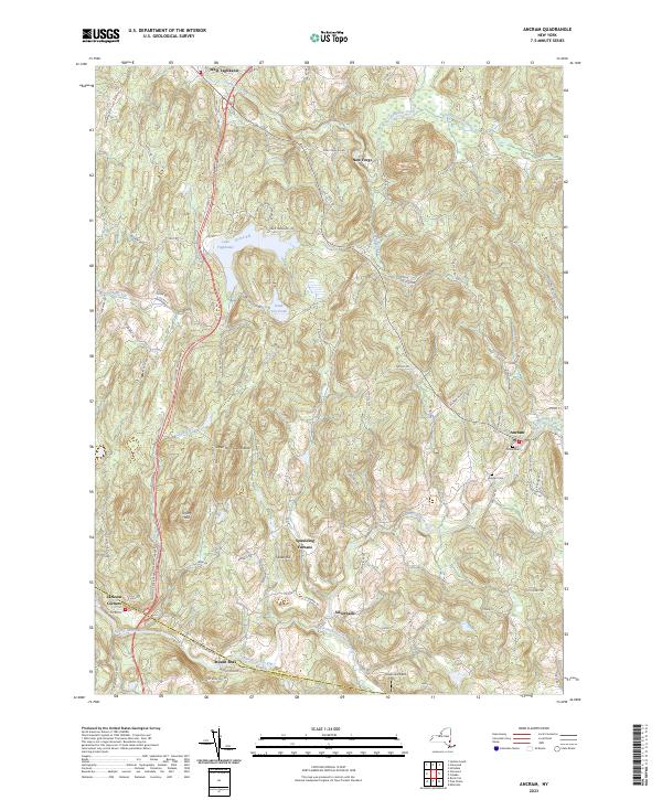
2023 Map of Ancram
USGS Topo · Published 2023About this map
Lake Taghkanic State Park serves as a major geographical anchor in this part of Columbia County, centered on the waters of Lake Taghkanic. The landscape is defined by the winding paths of the Roeliff Jansen Kill and Taghkanic Creek, which historically powered the local industry that gave rise to settlements like Spaulding Furnace and New Forge. The southern portion of the map captures the boundary between Columbia Co and Dutchess Co, where the hamlets of Jackson Corners and Mount Ross sit along the creek banks.
Find a feature on this map
94 named features on this map. Tap any name to fly to it.
Don’t see what you’re looking for? This feature index may not catch every label — zoom into the map to look around manually.
Map Details
Editions of this 2023 Ancram Map
This is the sole edition of this map. No revisions or reprints were ever made.
Other maps of this area

1895 · Catskill
USGS Topo · 1:62,500

1898 · Rhinebeck
USGS Topo · 1:62,500

1899 · Millbrook
USGS Topo · 1:62,500

1902 · Millbrook
USGS Topo · 1:62,500

1902 · Copake
USGS Topo · 1:62,500

1904 · Copake
USGS Topo · 1:62,500

1934 · Rhinebeck
USGS Topo · 1:48,000

1934 · Catskill
USGS Topo · 1:62,500

1938 · Catskill
USGS Topo · 1:62,500

1939 · Rhinebeck
USGS Topo · 1:62,500