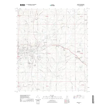
2018 Map of Andalusia
USGS Topo · Published 2018About this map
The city of Andalusia serves as the central hub of this Covington County landscape, where urban development transitions into the creek-fed lowlands of southern Alabama. The area is defined by a dense network of local cemeteries and memorial sites, including Magnolia Cem, Southside Cem, and Andalusia Memorial Garden, providing significant points of interest for genealogical research. Education and transportation are anchored by the Lurleen B Wallace Community College and the South Alabama Regional Airport at Bill Benton Field to the east.
Find a feature on this map
168 named features on this map. Tap any name to fly to it.
Don’t see what you’re looking for? This feature index may not catch every label — zoom into the map to look around manually.
Map Details
Editions of this 2018 Andalusia Map
This is the sole edition of this map. No revisions or reprints were ever made.
Other maps of this area

1953 · Andalusia
USGS Topo · 1:250,000

1957 · Andalusia
USGS Topo · 1:250,000

1971 · Carolina
USGS Topo · 1:24,000

1971 · Libertyville
USGS Topo · 1:24,000

1971 · Dozier
USGS Topo · 1:24,000

1971 · Onycha
USGS Topo · 1:24,000

1971 · River Falls
USGS Topo · 1:24,000

1971 · Andalusia
USGS Topo · 1:24,000

1971 · Gantt
USGS Topo · 1:24,000

1971 · Red Level
USGS Topo · 1:24,000