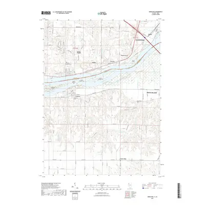
2021 Map of Andalusia
USGS Topo · Published 2021About this map
The Mississippi River creates a natural border between Iowa and Illinois on this 2021 survey, defining the industrial and residential corridors of Davenport and Buffalo. Along the northern banks, the landscape is marked by the Nahant Marsh and the riverside settlements of Linwood and Buffalo Heights. On the Illinois side, the river splits around Andalusia Island and several numbered landmasses like Island Number 318, creating the complex waterways of the Andalusia Slough.
Find a feature on this map
121 named features on this map. Tap any name to fly to it.
Don’t see what you’re looking for? This feature index may not catch every label — zoom into the map to look around manually.
Map Details
Editions of this 2021 Andalusia Map
This is the sole edition of this map. No revisions or reprints were ever made.
Other maps of this area

1890 · Durant
USGS Topo · 1:62,500

1891 · Davenport
USGS Topo · 1:62,500

1894 · Durant
USGS Topo · 1:62,500

1894 · Davenport
USGS Topo · 1:62,500

1901 · Rock Island
USGS Topo · 1:125,000

1910 · Rock Island
USGS Topo · 1:125,000

1912 · Milan
USGS Topo · 1:62,500

1916 · Edgington
USGS Topo · 1:62,500

1938 · Edgington
USGS Topo · 1:62,500

1944 · Milan
USGS Topo · 1:62,500