Loading...
Loading map...2024 Map of Andalusia
USGS Topo · Published 2024About this map
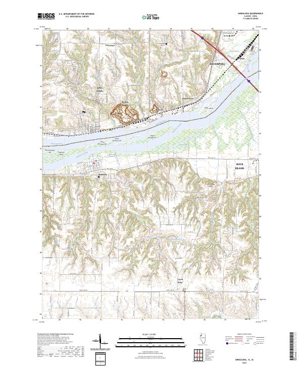
The Mississippi River creates a complex network of channels and wetlands here, defining the border between Davenport and the Andalusia shoreline. This landscape is characterized by its numerous river features, including Horse Island and Andalusia Island, alongside protective waterways like Andalusia Slough and Swift Slough. On the Illinois side, the terrain rises sharply into the Army Ridge Bluffs, where the upland settlement of Taylor Ridge overlooks the river valley.
Find a feature on this map
83 named features on this map. Tap any name to fly to it.
Don’t see what you’re looking for? This feature index may not catch every label — zoom into the map to look around manually.
Map Details
Date Portrayed2024
Date Published2024
PublisherU.S. Geological Survey
Map TypeTopographic
Scale1:24000
Physical Dimensions24 x 29 inches
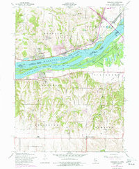
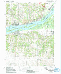
Editions of this 2024 Andalusia Map
This is the sole edition of this map. No revisions or reprints were ever made.
Historical Maps of Jamestown Through Time
3 maps found
Featured Locations
Source Details
SourceU.S. Geological Survey
CopyrightPublic Domain