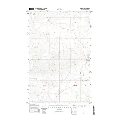
2014 Map of Anderson Creek
USGS Topo · Published 2014About this map
The Hoh River and the Bogachiel River systems dominate this coastal Washington landscape, where the Pacific NW National Scenic Trail winds through the foothills of the Olympic Mountains. The map reveals a specialized wilderness infrastructure, notably the Lower Hoh Fire Camp and the Hoh River Bridge along the Upper Hoh Rd. Several established recreational sites, including the Hoh Ox Bow Campground and Cottonwood Campground, are positioned along the major waterways.
Find a feature on this map
34 named features on this map. Tap any name to fly to it.
Don’t see what you’re looking for? This feature index may not catch every label — zoom into the map to look around manually.
Map Details
Editions of this 2014 Anderson Creek Map
This is the sole edition of this map. No revisions or reprints were ever made.
Other maps of this area

1939 · Forks
USGS Topo · 1:62,500

1943 · Spruce Mountain
USGS Topo · 1:62,500

1943 · Copalis Beach
USGS Topo · 1:250,000

1951 · Copalis Beach
USGS Topo · 1:250,000

1956 · Destruction Island
USGS Topo · 1:62,500

1956 · Spruce Mtn.
USGS Topo · 1:62,500

1956 · Salmon River
USGS Topo · 1:62,500

1957 · Forks
USGS Topo · 1:62,500

1957 · Copalis Beach
USGS Topo · 1:250,000

1963 · Copalis Beach
USGS Topo · 1:250,000