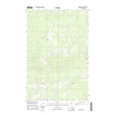
2017 Map of Anderson Creek
USGS Topo · Published 2017About this map
Olympic Mountains foothills dominate this landscape where the Bogachiel River and Hoh River carve through Jefferson County. The terrain is defined by a network of drainage systems including Anderson Creek, Pins Cr, and Hell Roaring Creek. Access to these timberlands and river valleys is provided by a few key corridors such as Upper Hoh Rd and Oil City Rd, which winds toward the coast. A notable site of early industrial interest, the Lacy Oil Seep, is located south of Lacy Oil Seep and north of the main river channel. For outdoor history and recreation, the Pacific NW National Scenic Trail traverses the western section of the map, crossing over the high ground of Lagitos Hill. The Hoh River Bridge serves as a critical infrastructure point connecting the northern and southern banks of this major waterway.
Find a feature on this map
30 named features on this map. Tap any name to fly to it.
Don’t see what you’re looking for? This feature index may not catch every label — zoom into the map to look around manually.
Map Details
Editions of this 2017 Anderson Creek Map
This is the sole edition of this map. No revisions or reprints were ever made.
Other maps of this area

1939 · Forks
USGS Topo · 1:62,500

1943 · Spruce Mountain
USGS Topo · 1:62,500

1943 · Copalis Beach
USGS Topo · 1:250,000

1951 · Copalis Beach
USGS Topo · 1:250,000

1956 · Destruction Island
USGS Topo · 1:62,500

1956 · Spruce Mtn.
USGS Topo · 1:62,500

1956 · Salmon River
USGS Topo · 1:62,500

1957 · Forks
USGS Topo · 1:62,500

1957 · Copalis Beach
USGS Topo · 1:250,000

1963 · Copalis Beach
USGS Topo · 1:250,000