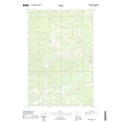
2020 Map of Anderson Creek
USGS Topo · Published 2020About this map
The Olympic Mountains foothills dominate this Jefferson County landscape, where the Hoh River meanders toward the Pacific coast. This modern survey shows a region defined by its hydrography and specialized transit routes, including the Pacific NW National Scenic Trail and the Upper Hoh Rd which provides access to the valley interior. A notable industrial marker is the Lacy Oil Seep, located near the headwaters of Mosquito Cr. The drainage patterns of Goodman Cr and Hell Roaring Cr illustrate the complex watershed system of the Olympic Peninsula. Transportation is limited to a few arterial routes like Oil City Rd, which connects the river lowlands to the more elevated terrain near Lagitos Hill. The Hoh River Bridge serves as a critical infrastructure point in this largely uninhabited, resource-rich environment.
Find a feature on this map
28 named features on this map. Tap any name to fly to it.
Don’t see what you’re looking for? This feature index may not catch every label — zoom into the map to look around manually.
Map Details
Editions of this 2020 Anderson Creek Map
This is the sole edition of this map. No revisions or reprints were ever made.
Other maps of this area

1939 · Forks
USGS Topo · 1:62,500

1943 · Spruce Mountain
USGS Topo · 1:62,500

1943 · Copalis Beach
USGS Topo · 1:250,000

1951 · Copalis Beach
USGS Topo · 1:250,000

1956 · Destruction Island
USGS Topo · 1:62,500

1956 · Spruce Mtn.
USGS Topo · 1:62,500

1956 · Salmon River
USGS Topo · 1:62,500

1957 · Forks
USGS Topo · 1:62,500

1957 · Copalis Beach
USGS Topo · 1:250,000

1963 · Copalis Beach
USGS Topo · 1:250,000