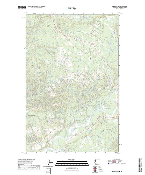
2023 Map of Anderson Creek
USGS Topo · Published 2023About this map
The Hoh River and Bogachiel River define the hydraulic character of this coastal Washington landscape, where the foothills of the Olympic Mountains meet the Pacific watershed. The terrain is marked by a dense network of watercourses, including the namesake Anderson Creek and the notable Hell-Roaring Creek. An unusual geological feature, the Lacy Oil Seep, sits near the southern bank of the Hoh, a point of interest for those studying the region's natural history and resource exploration.
Find a feature on this map
28 named features on this map. Tap any name to fly to it.
Don’t see what you’re looking for? This feature index may not catch every label — zoom into the map to look around manually.
Map Details
Editions of this 2023 Anderson Creek Map
This is the sole edition of this map. No revisions or reprints were ever made.
Other maps of this area

1939 · Forks
USGS Topo · 1:62,500

1943 · Spruce Mountain
USGS Topo · 1:62,500

1943 · Copalis Beach
USGS Topo · 1:250,000

1951 · Copalis Beach
USGS Topo · 1:250,000

1956 · Destruction Island
USGS Topo · 1:62,500

1956 · Spruce Mtn.
USGS Topo · 1:62,500

1956 · Salmon River
USGS Topo · 1:62,500

1957 · Forks
USGS Topo · 1:62,500

1957 · Copalis Beach
USGS Topo · 1:250,000

1963 · Copalis Beach
USGS Topo · 1:250,000