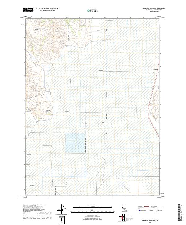
2021 Map of Anderson Mountain
USGS Topo · Published 2021About this map
The Madeline Plains dominate this high-desert expanse of Lassen County, illustrating a landscape defined by seasonal wetlands and isolated volcanic peaks. Rising above the basin in the northwest corner, Anderson Mtn and its associated drainage, Anderson Canyon, provide a sharp vertical contrast to the surrounding flats. The settlement at Brockman serves as a small anchor on the eastern edge, connected to the wider region by a grid of local corridors like Mendiboure Rd and Brockman Rd.
Find a feature on this map
29 named features on this map. Tap any name to fly to it.
Don’t see what you’re looking for? This feature index may not catch every label — zoom into the map to look around manually.
Map Details
Editions of this 2021 Anderson Mountain Map
This is the sole edition of this map. No revisions or reprints were ever made.
Other maps of this area

1886 · Alturas
USGS Topo · 1:250,000

1886 · Honey Lake
USGS Topo · 1:250,000

1891 · Honey Lake
USGS Topo · 1:250,000

1892 · Alturas
USGS Topo · 1:250,000

1893 · Honey Lake
USGS Topo · 1:250,000

1954 · Grasshopper Valley
USGS Topo · 1:62,500

1954 · Ravendale
USGS Topo · 1:62,500

1954 · Alturas
USGS Topo · 1:250,000

1955 · Westwood
USGS Topo · 1:250,000

1958 · Alturas
USGS Topo · 1:250,000