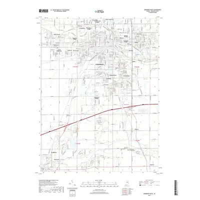
2019 Map of Anderson South
USGS Topo · Published 2019About this map
The south side of Anderson and the surrounding Madison County countryside are defined by the winding course of the White River and the rural road network connecting smaller hubs like Huntsville and Pendleton. This 2019 survey captures a landscape of maturing residential suburbs such as Edgewood, Irondale, and Fairfax that give way to agricultural land and managed waterways like Orebaugh Ditch and Michael Ditch. Genealogists will find a wealth of burial records preserved in the placement of West Maplewood Cem, Saint Marys Cem, and the historic Mount Zion Lutheran Cem near New Columbus. The map details the transition from the industrial corridors of the city's southern edge to the open spaces of Anderson Memorial Park and the natural drainage of Fall Creek, providing a clear look at modern parcel boundaries and regional infrastructure.
Find a feature on this map
135 named features on this map. Tap any name to fly to it.
Don’t see what you’re looking for? This feature index may not catch every label — zoom into the map to look around manually.
Map Details
Editions of this 2019 Anderson South Map
This is the sole edition of this map. No revisions or reprints were ever made.
Other maps of this area

1952 · Ingalls
USGS Topo · 1:24,000

1952 · Anderson
USGS Topo · 1:24,000

1953 · Pendleton
USGS Topo · 1:24,000

1953 · Lapel
USGS Topo · 1:24,000

1953 · Cincinnati
USGS Topo · 1:250,000

1953 · Muncie
USGS Topo · 1:250,000

1956 · Muncie
USGS Topo · 1:250,000

1957 · Cincinnati
USGS Topo · 1:250,000

1960 · Gilman
USGS Topo · 1:24,000

1960 · Middletown
USGS Topo · 1:24,000