Loading...
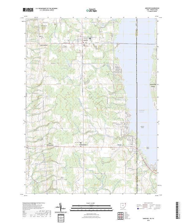
Loading map...2023 Map of Andover
USGS Topo · Published 2023About this map
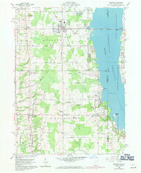
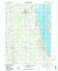
The Ashtabula County and Crawford County line marks a distinct shift in the landscape as it transitions into the waters of Pymatuning Reservoir. Centered on the village of Andover, this survey illustrates a rural community defined by its proximity to the water and its agricultural layout. The village itself is anchored by Andover Cem and Maple Grove Cem, while the surrounding countryside is dotted with local aviation sites like Riceland Aerodrome and Hal Joy Airfield.
Find a feature on this map
77 named features on this map. Tap any name to fly to it.
Don’t see what you’re looking for? This feature index may not catch every label — zoom into the map to look around manually.
Map Details
Date Portrayed2023
Date Published2023
PublisherU.S. Geological Survey
Map TypeTopographic
Scale1:24000
Physical Dimensions24 x 29 inches
Editions of this 2023 Andover Map
This is the sole edition of this map. No revisions or reprints were ever made.
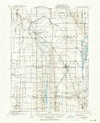
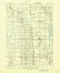
Historical Maps of Andover Through Time
5 maps found
Featured Locations
- Pymatuning Central, PA
- Pymatuning South, PA
- Cherry Valley Township, OH
- Andover, OH
- Williamsfield, Williamsfield Township
Source Details
SourceU.S. Geological Survey
CopyrightPublic Domain