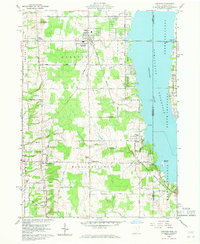
1959 Map of Andover
USGS Topo · Published 1968About this map
Pymatuning Reservoir dominates the eastern edge of this mid-century survey, defining the border between Ohio and Pennsylvania. The New York Central railroad corridor bisects the landscape, connecting the village of Andover with southern settlements like Williamsfield and Simons. This region, situated within the Connecticut Western Reserve, shows a rectilinear grid of local roads such as Gibbs Road and California Road that serve a primarily agricultural and recreational landscape. Genealogists will find several burial grounds mapped in detail, including Maple Grove Cem and West Lawn Cem. Cultural landmarks of the era are evident, from the Pilgrim Ch to a Drive-in Theater located along the highway, while the ancient Owens Mound stands as a rare archaeological feature near the northern boundary. The rise of leisure and conservation is clear in the establishment of Pymatuning State Park along the reservoir's shoreline.
Find a feature on this map
45 named features on this map. Tap any name to fly to it.
Don’t see what you’re looking for? This feature index may not catch every label — zoom into the map to look around manually.
Map Details
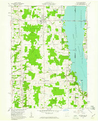
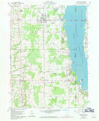
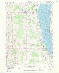
Editions of this 1959 Andover Map
4 editions found
Other maps of this area

1905 · Andover
USGS Topo · 1:48,000

1906 · Linesville
USGS Topo · 1:62,500

1907 · Andover
USGS Topo · 1:62,500

1907 · Kinsman
USGS Topo · 1:62,500

1908 · Shenango
USGS Topo · 1:62,500

1908 · Linesville
USGS Topo · 1:62,500

1950 · Cleveland
USGS Topo · 1:250,000

1956 · Cleveland
USGS Topo · 1:250,000

1958 · Greensville West
USGS Topo · 1:24,000

1959 · Hartstown
USGS Topo · 1:24,000