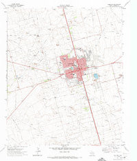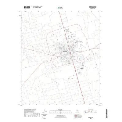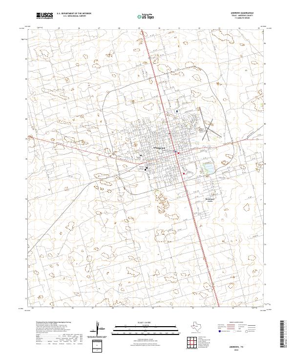
1991 Map of Andrews
USGS Topo · Published 1992About this map
The West Texas plains are defined by an expansive industrial footprint in this 1991 topographic study, where the extraction landscape of the Permian Basin dominates the geography. The town of Andrews serves as a central hub, surrounded by a dense network of energy infrastructure including the Andrews North Oil Field, Means Oil Field, and Mabee Oil Field. This survey reveals how the local economy and settlement patterns were inextricably tied to these fields, with smaller communities like Florey, Frankel City, and Goldsmith situated among the derricks and service roads.
Find a feature on this map
32 named features on this map. Tap any name to fly to it.
Don’t see what you’re looking for? This feature index may not catch every label — zoom into the map to look around manually.
Map Details
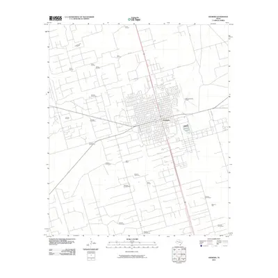
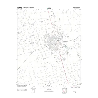
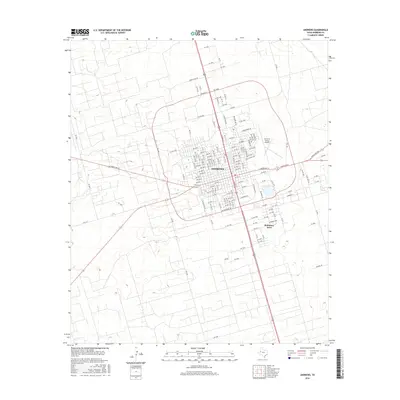
Editions of this 1991 Andrews Map
This is the sole edition of this map. No revisions or reprints were ever made.
Historical Maps of Midland Through Time
7 maps found