
1935 Map of Andrews
USGS Topo · Published 1935About this map
Andrews serves as the central hub of this 1935 survey, situated in the heart of the Valley River corridor. The town's grid is bisected by the Southern Railway, which follows the river's path through the Nantahala National Forest. Evidence of local industry and development is clear, with a Lumber Railroad extending into the timbered slopes and a Valley River Tunnel facilitating rail transit through the ridges. To the east, the small settlement of Rhodo sits near its namesake Rhodo Sch, while local social life is marked by the Andrews Golf Course and several rural congregations such as Beaver Creek Ch. The surrounding landscape is defined by formidable peaks like Big Peachtree Bald and the Tusquitee Mountains, with numerous family-named landmarks like Granny Squirrel Gap and Nancy Gap indicating long-established mountain passages.
Find a feature on this map
123 named features on this map. Tap any name to fly to it.
Don’t see what you’re looking for? This feature index may not catch every label — zoom into the map to look around manually.
Map Details
Editions of this 1935 Andrews Map
This is the sole edition of this map. No revisions or reprints were ever made.
Other maps of this area

1933 · Bushnell
USGS Topo · 1:62,500

1935 · Peachtree
USGS Topo · 1:24,000

1935 · Robbinsville
USGS Topo · 1:24,000

1935 · Shooting Creek
USGS Topo · 1:24,000

1935 · Topton
USGS Topo · 1:24,000

1935 · Marble
USGS Topo · 1:24,000

1935 · Wayah Bald
USGS Topo · 1:48,000

1935 · Santeetlah Creek
USGS Topo · 1:24,000
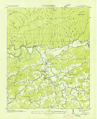
1935 · Hayesville
USGS Topo · 1:24,000
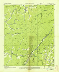
1936 · Hewitt
USGS Topo · 1:24,000