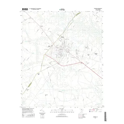
2017 Map of Andrews
USGS Topo · Published 2017About this map
Andrews and its surrounding communities sit at the intersection of Georgetown and Williamsburg counties, where the lowcountry landscape transitions into a complex system of bay and swamp formations. The town’s grid is flanked by several distinct neighborhoods and crossroads, including West Andrews, Harper Crossroads, and Italy, while the rural outskirts are defined by family-named landmarks like Cherry Hill and Cross Bay Ridge. This 2017 survey reveals the intricate water network of the Black River basin, characterized by numerous named wetlands such as Chicken Swamp, Boggy Swamp, and the unique elliptical depressions of Ricefield Bay and Waterhole Bay. Local heritage sites are preserved at Harmony Cem and Mount Lebanon Cem, which provide significant points of interest for genealogical research in this region. The presence of the Robert F Swinnie Airport and a network of secondary roads such as Gapway Rd and Tar Heel Rd illustrates the modern infrastructure layered over this traditionally agricultural and swampy terrain.
Find a feature on this map
119 named features on this map. Tap any name to fly to it.
Don’t see what you’re looking for? This feature index may not catch every label — zoom into the map to look around manually.
Map Details
Editions of this 2017 Andrews Map
This is the sole edition of this map. No revisions or reprints were ever made.
Other maps of this area

1942 · Cedar Creek
USGS Topo · 1:24,000

1943 · Olin
USGS Topo · 1:31,680

1943 · Trio
USGS Topo · 1:24,000

1943 · Kilsock Bay
USGS Topo · 1:24,000

1943 · Rhems
USGS Topo · 1:24,000

1943 · Andrews
USGS Topo · 1:24,000

1943 · Jamestown
USGS Topo · 1:24,000

1946 · Indiantown
USGS Topo · 1:62,500

1949 · Georgetown
USGS Topo · 1:250,000

1967 · Georgetown
USGS Topo · 1:250,000