2024 Map of Andrews
USGS Topo · Published 2024About this map
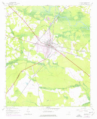
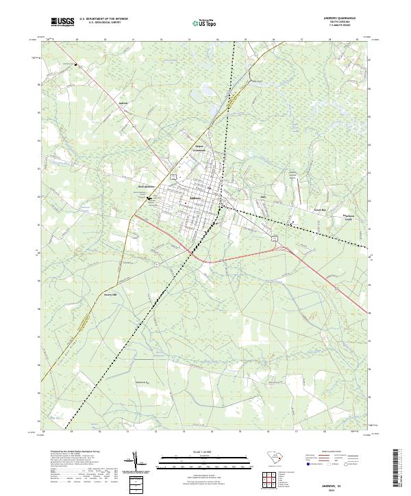
Andrews serves as a central hub where the boundaries of Williamsburg and Georgetown counties meet, surrounded by a complex network of wetlands and low-lying swamps. The landscape is defined by the transition from the concentrated street grid of the town to the sprawling drainage systems of Black River Swamp and Big Dam Swamp. The presence of Potato Ferry on the Black River north of town points to the historic reliance on river crossings in this water-dominant geography, while Robert F Swinnie Airport marks more contemporary infrastructure. Rural communities like Antioch, Italy, and Harper Crossroads anchor the surrounding timber and agricultural lands. Genealogists will find several significant burial sites and congregations, including Piney Grove Cem, Harmony Cem, and the Ebenezer Baptist Church, which provide essential touchstones for tracing family history in the South Carolina Lowcountry.
Find a feature on this map
129 named features on this map. Tap any name to fly to it.
Don’t see what you’re looking for? This feature index may not catch every label — zoom into the map to look around manually.
Map Details
Editions of this 2024 Andrews Map
This is the sole edition of this map. No revisions or reprints were ever made.