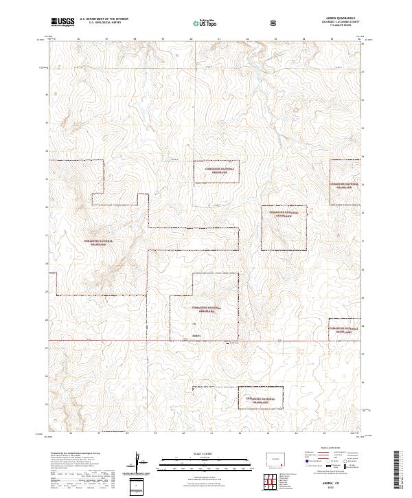
2022 Map of Andrix
USGS Topo · Published 2022About this map
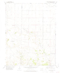
Comanche National Grassland dominates this corner of Las Animas County, showing a landscape defined by expansive open plains and subtle drainage systems. The small settlement of Andrix serves as the central focal point of the quadrangle, situated near the intersection of several county roads including Co Rd 46 and Co Rd 215. The presence of the Andrix Cem just east of the main settlement provides a specific point of interest for genealogists and local historians tracking family origins in this high plains region. The terrain is marked by the winding paths of Mustang Cr and the uniquely named O U Cr, which carve shallow depressions across the grassland. This survey illustrates the modern layout of the Public Land Survey System, with township boundaries like t31s r52w and t31s r51w organizing the vast agricultural and grazing tracts of southeastern Colorado.
Find a feature on this map
14 named features on this map. Tap any name to fly to it.
Don’t see what you’re looking for? This feature index may not catch every label — zoom into the map to look around manually.
Map Details
Editions of this 2022 Andrix Map
This is the sole edition of this map. No revisions or reprints were ever made.
Other maps of this area

1892 · Mt Carrizo
USGS Topo · 1:125,000

1955 · La Junta
USGS Topo · 1:250,000

1958 · La Junta
USGS Topo · 1:250,000

1968 · La Junta
USGS Topo · 1:250,000

1978 · Pintada Creek
USGS Topo · 1:24,000

1978 · Utleyville
USGS Topo · 1:24,000
1978 · Robbers Roost Canyon
USGS Topo · 1:24,000
1978 · Table Mesa
USGS Topo · 1:24,000
1978 · Buck Canyon
USGS Topo · 1:24,000
1978 · Carrizo Mountain
USGS Topo · 1:24,000