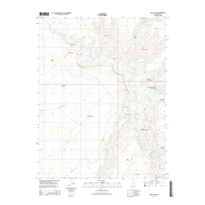
2014 Map of Angel Cove
USGS Topo · Published 2014About this map
The Dirty Devil River carves a winding path through this corner of Wayne County, creating a landscape defined by deep erosional features and named landmarks of the high desert. This 2014 survey documents the isolated terrain between the Burr Desert to the south and Buck Canyon to the north. Movement through the area is restricted to unpaved routes like Sand Slide Rd and Angel Point Rd, which provide access to high overlooks such as Angel Point. Water sources are rare but critical, marked here by the Angel Cove Spring tucked within Angel Cove. The map reveals the intricate drainage systems of Beaver Wash and the distinctively named Robbers Roost Canyon, providing an essential geographic reference for this portion of the Colorado Plateau.
Find a feature on this map
27 named features on this map. Tap any name to fly to it.
Don’t see what you’re looking for? This feature index may not catch every label — zoom into the map to look around manually.
Map Details
Editions of this 2014 Angel Cove Map
This is the sole edition of this map. No revisions or reprints were ever made.
Other maps of this area

1885 · San Rafael
USGS Topo · 1:250,000

1952 · Mt. Ellen 4 NW
USGS Topo · 1:24,000

1952 · Bull Mountain
USGS Topo · 1:62,500

1953 · Orange Cliffs 3 NW
USGS Topo · 1:24,000

1953 · Fiddler Butte
USGS Topo · 1:62,500

1954 · Mt. Ellen 1 NW
USGS Topo · 1:24,000

1954 · Mt. Ellen 1 SW
USGS Topo · 1:24,000

1956 · Salina
USGS Topo · 1:250,000

1960 · Salina
USGS Topo · 1:250,000

1962 · Salina
USGS Topo · 1:250,000