
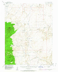
1952 Map of Bull Mountain
USGS Topo · Published 1956About this map
Bull Mountain and the eastern slopes of the Henry Mountains dominate this high-desert landscape in the early 1950s. The map illustrates a region defined by its water sources and ranching history, noting the Granite Ranch (Site) and Fairview Ranch. Arid terrain features such as the Burr Desert and Poison Spring Benches are dissected by a complex network of drainages including Trachyte Wash and Crescent Creek.
Find a feature on this map
44 named features on this map. Tap any name to fly to it.
Don’t see what you’re looking for? This feature index may not catch every label — zoom into the map to look around manually.
Map Details
Editions of this 1952 Bull Mountain Map
4 editions found
Other maps of this area

1885 · San Rafael
USGS Topo · 1:250,000

1886 · Henry Mountains
USGS Topo · 1:250,000

1892 · Henry Mountains
USGS Topo · 1:250,000

1952 · Orange Cliffs 3 SW
USGS Topo · 1:24,000

1952 · Mount Ellen 4 SW
USGS Topo · 1:24,000

1952 · Mt Pennell 2 NE
USGS Topo · 1:24,000

1952 · Mt Pennell 1 NE
USGS Topo · 1:24,000

1952 · Mt Hillers
USGS Topo · 1:62,500

1952 · Mt. Ellen 4 NW
USGS Topo · 1:24,000

1952 · Mt Pennell 1 NW
USGS Topo · 1:24,000