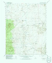
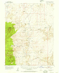
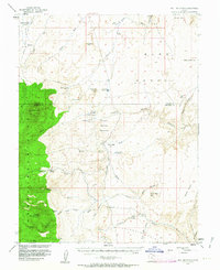
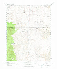
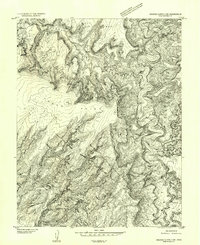
1952 Map of Bull Mountain
USGS Topo · Published 1980About this map
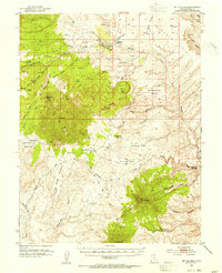
Bull Mountain and the eastern flanks of the Henry Mountains dominate this mid-century landscape on the border of Wayne and Garfield Counties. Published with cooperation from the Atomic Energy Commission, the survey reflects a period of exploration in this arid region, evidenced by scattered Mine and Prospect symbols along Copper Creek and Crescent Creek. Settlement is sparse, limited to the Fairview Ranch and the Granite Ranch (Site), highlighting the area's isolation during the early 1950s.
Find a feature on this map
51 named features on this map. Tap any name to fly to it.
Don’t see what you’re looking for? This feature index may not catch every label — zoom into the map to look around manually.
Map Details
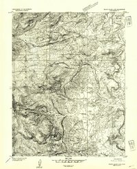
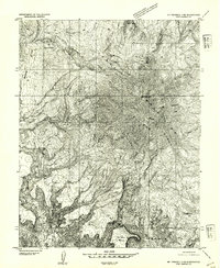
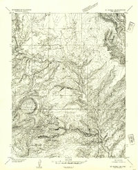
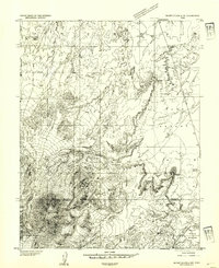
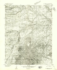
Editions of this 1952 Bull Mountain Map
4 editions found
Other maps of this area

1885 · San Rafael
USGS Topo · 1:250,000

1886 · Henry Mountains
USGS Topo · 1:250,000

1892 · Henry Mountains
USGS Topo · 1:250,000
1952 · Orange Cliffs 3 SW
USGS Topo · 1:24,000
1952 · Mount Ellen 4 SW
USGS Topo · 1:24,000
1952 · Mt Pennell 2 NE
USGS Topo · 1:24,000
1952 · Mt Pennell 1 NE
USGS Topo · 1:24,000
1952 · Mt Hillers
USGS Topo · 1:62,500
1952 · Mt. Ellen 4 NW
USGS Topo · 1:24,000
1952 · Mt Pennell 1 NW
USGS Topo · 1:24,000