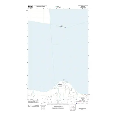
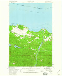
2011 Map of Angeles Point
USGS Topo · Published 2011About this map
Angeles Point anchors this coastal survey, where the Elwha River meets the Strait of Juan de Fuca. The landscape is defined by the tribal presence and infrastructure of the Lower Elwha community, including the Point No Point Treaty Council Lower Elwha Klallam Tribal Hatchery. This area reflects a critical intersection of maritime geography and indigenous heritage, situated just west of the expanding reach of Port Angeles William R Fairchild International Airport.
Find a feature on this map
33 named features on this map. Tap any name to fly to it.
Don’t see what you’re looking for? This feature index may not catch every label — zoom into the map to look around manually.
Map Details
Editions of this 2011 Angeles Point Map
This is the sole edition of this map. No revisions or reprints were ever made.
Other maps of this area

1918 · Port Angeles
USGS Topo · 1:62,500

1919 · Port Crescent
USGS Topo · 1:62,500

1941 · Port Angeles
USGS Topo · 1:62,500

1950 · Elwha
USGS Topo · 1:24,000

1950 · Ediz Hook
USGS Topo · 1:24,000

1950 · Lake Sutherland
USGS Topo · 1:24,000
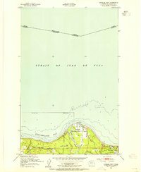
1950 · Angeles Point
USGS Topo · 1:24,000
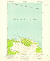
1950 · Joyce
USGS Topo · 1:24,000
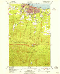
1950 · Port Angeles
USGS Topo · 1:24,000
1950 · Joyce
USGS Topo · 1:62,500